|
|
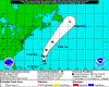
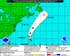
| 08/16/11 |
|
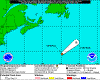
Gert appeared Sunday morning, the 14th as a tropical depression and moved north towards Bermuda.
Though she strengthened to a tropical sotrm, with winds reaching 60, she passed Bermuda and dissipated Tuesday afternoon.
|
 |
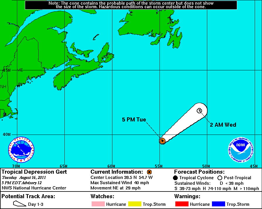
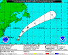
2011-08-16
1700 EDT
Tropical Depression
40 mph
NE at 29 mph |
|
|
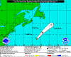 |
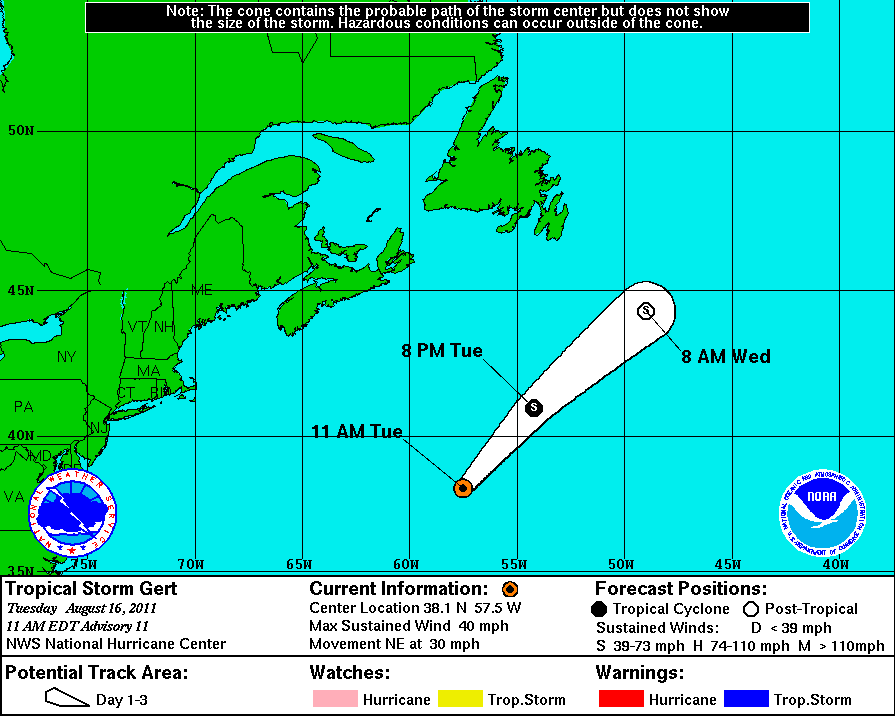
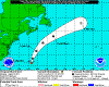
2011-08-16
1100 EDT
Tropical Storm
40 mph
NE at 30 mph |
|
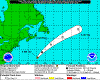 |
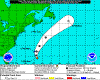
2011-08-16
0500 EDT
Tropical Storm
45 mph
NE at 22 mph |
|
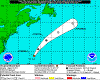 |
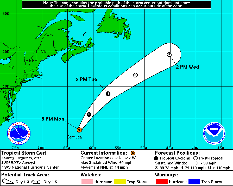
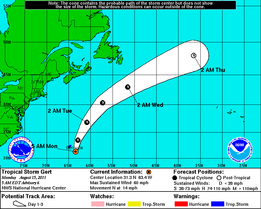
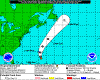
2011-08-15
1700 EDT
Tropical Storm
60 mph
NNE at 14 mph |
|
 |
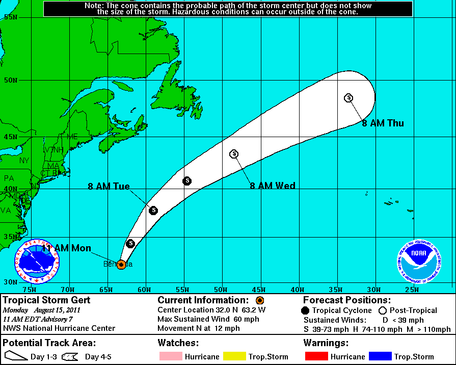
2011-08-15
1100 EDT
Tropical Storm
60 mph
N at 12 mph |
|
 |
2011-08-15
0500 EDT
Tropical Storm
60 mph
N at 14 mph |
|
 |
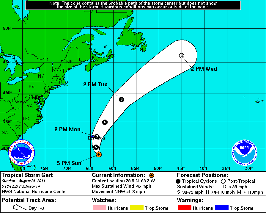
2011-08-14
1700 EDT
Tropical Storm
45 mph
NNW at 8 mph |
|
 |
2011-08-14
1400 EDT
Tropical Storm
40 mph
NNW at 7 mph |
|
 |
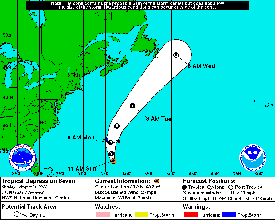
2011-08-14
1100 EDT
Tropical Depression
35 mph
WNW at 7 mph |
|
 |
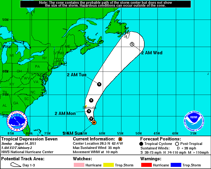
2011-08-14
0500 EDT
Tropical Depression
35 mph
WNW at 10 mph |
|
|
| |